Corona Rollins Pass
Uncover Corona Pass Road/Rollins Pass Trail
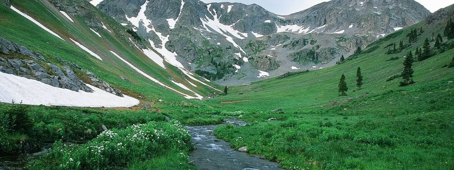
On this scenic byway, drive along the old railroad route to the ‘Top of the World.’ You’ll pass a historic trestle and the abandoned town of Arrow, once a thriving railroad town. This self-guided auto tour takes you along one of the highest and most tortuous railroad routes ever conceived. Railroad men had to deal with huge snow drifts, arctic climates, and steep grades. The route was used until 1927, when the nearby Moffat Tunnel was completed. Now, Corona Pass is a scenic drive in Colorado that showcases the rich railroad history of the area.
This unpaved scenic road climbs roughly 14–15 miles to the top of the Continental Divide and is best traveled with a high-clearance four-wheel-drive vehicle due to its primitive conditions. Plan on about an hour to drive the full length, allowing time to stop at the historic train trestle just before reaching the summit—a worthwhile pause that gives a glimpse into the area’s railroad past. At the end of the road, you’ll find the Rollins Pass trailhead, which provides access to the non-mechanized High Lonesome and Rollins Pass Trails, both part of the Continental Divide Trail system.
Note, Corona Pass Road is considered a primitive use road, a high clearance, 4 wheel drive vehicle is required to safely navigate this road, it closes for winter and is not a through road. Check the weather conditions and road closures before you embark on your drive.
For more scenic drives and scenic byways in Colorado, check out Trail Ridge Road, Trough Road, Ute Pass, Stillwater Pass and Colorado River Headwater’s Scenic and Historic Byway.

Protecting the Source Starts with You
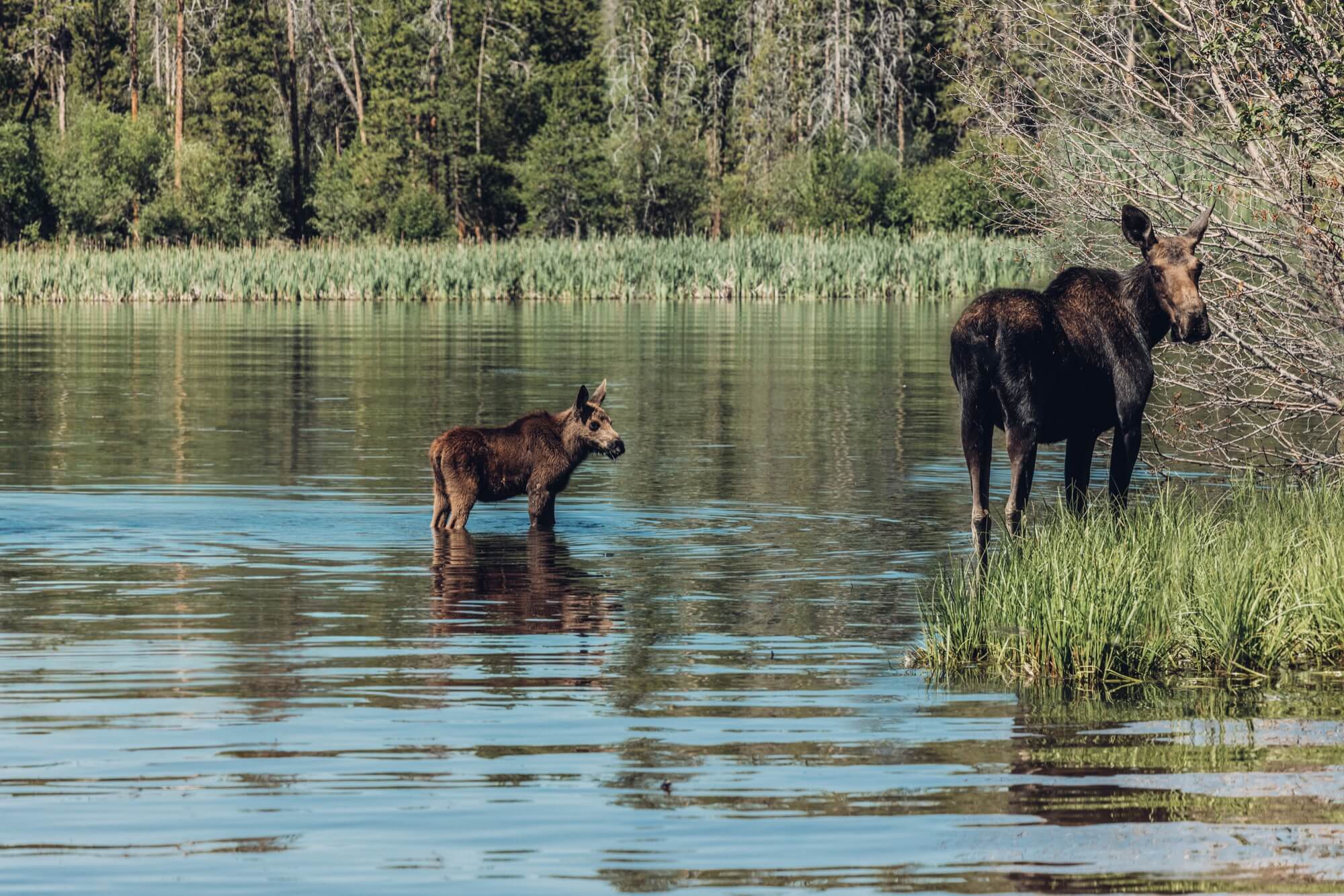
In Grand County, nature isn’t just what you visit — it’s what we protect. From mindful travel habits to supporting local stewardship efforts, small actions add up to big impact. Learn how you can explore responsibly and help keep this place wild for generations to come.
Sign up for the newsletter
Get updates on local events, seasonal highlights, and what’s new in Grand County — straight to your inbox.

