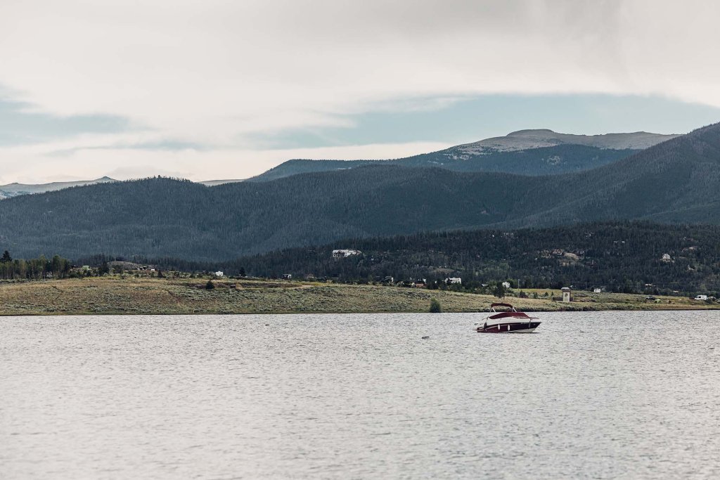
Arapaho National Recreation Area
Why It Matters
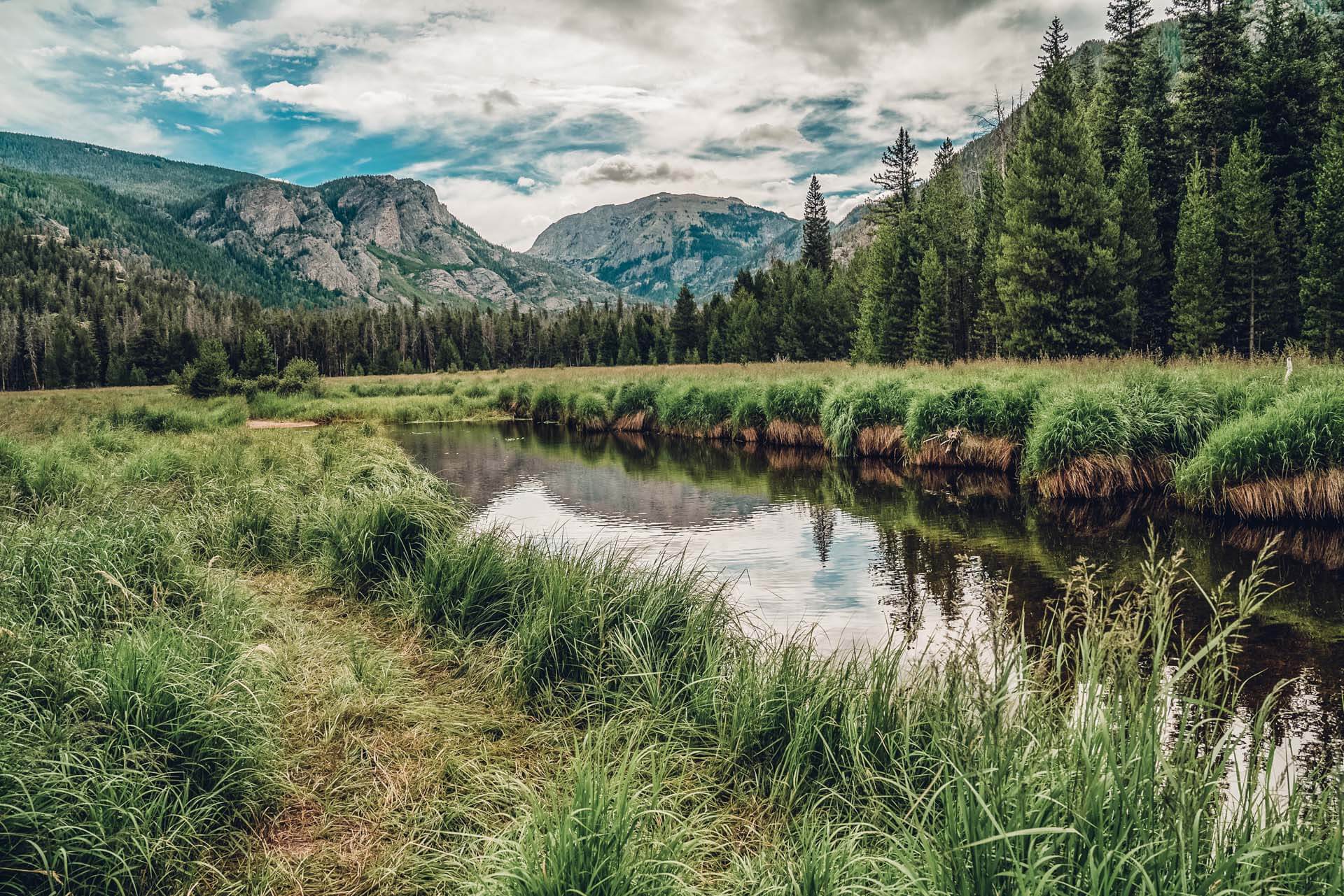
This protected area represents modern conservation efforts to balance recreation, preservation, and education.
Connection to the River
The recreation area safeguards key sections of the Colorado River headwaters and surrounding ecosystems.
Stewardship Tip
Follow Leave No Trace principles to help preserve the landscape for future generations.
Blue River (tributary from the south)
Why It Matters
Flowing roughly 65 miles from alpine headwaters near Hoosier Pass to its confluence with the Colorado River, this river supports recreation, wildlife habitats, and a nationally recognized Gold Medal fishery.
Connection to the River
This river joins the Colorado River near Kremmling, contributing water from Summit County’s headwaters and Dillon Reservoir.
Stewardship Tip
Practice responsible catch-and-release fishing, follow river regulations, including size restrictions and harvest limits, and avoid damaging riverbanks.
Byers Canyon
Why It Matters
Byers Canyon served as a natural transportation corridor and was instrumental in early travel and trade routes through Grand County.
Connection to the River
The Colorado River cuts through this dramatic canyon, carving the landscape over thousands of years.
Stewardship Tip
Observe wildlife from a distance and avoid disturbing nesting or feeding areas near the river.
Gore Canyon
Why It Matters
Known historically as a challenging natural barrier, Gore Canyon later became a world-renowned whitewater destination.
Connection to the River
The Colorado River narrows and accelerates here, showcasing its raw power.
Stewardship Tip
Only recreate within your skill level and follow safety guidelines to protect both people and the river.
Granby (Historic Townsite)
Why It Matters
Granby developed alongside the railroad and agricultural expansion, relying heavily on river access.
Connection to the River
The Colorado River’s proximity supported irrigation, transportation, and settlement growth.
Stewardship Tip
Support local conservation efforts and respect river corridors within town limits.
Grand Lake
Why It Matters
Established in the late 1800s, Grand Lake is Colorado’s oldest continuously operating resort town and a historic gateway to the headwaters.
Connection to the River
Grand Lake is the largest natural body of water feeding the Colorado River system.
Stewardship Tip
Practice clean boating and shoreline etiquette — even small pollutants can impact water quality downstream.
Headwaters Journey Museum
Why It Matters
This interactive museum explores the story of the Colorado River, highlighting its headwaters, ecosystems, history, and the communities that depend on it.
Connection to the River
Located in Winter Park, the museum focuses on the river’s journey from its headwaters in Grand County through the West and beyond.
Hot Sulphur Springs
Why It Matters
A longtime gathering place for Indigenous peoples and later settlers, known for its mineral-rich hot springs and railroad history.
Connection to the River
The Colorado River flows directly through Hot Sulphur Springs, shaping settlement patterns and commerce.
Stewardship Tip
Use established river access points and respect private property along the river corridor.
Kawuneeche Valley
Why It Matters
Historically used by Indigenous peoples and later homesteaders, this broad valley remains one of the most visually iconic landscapes in Grand County.
Connection to the River
The Colorado River flows through the heart of Kawuneeche Valley, fed by surrounding peaks and wetlands.
Stewardship Tip
Observe wildlife from a distance and respect seasonal closures to protect sensitive habitats.
Kremmling – Confluence Area
Why It Matters
Kremmling emerged as a ranching and railroad hub where communities relied heavily on river access.
Connection to the River
This area marks a major confluence where tributaries strengthen the Colorado River’s flow.
Stewardship Tip
Respect seasonal closures and flow conditions when recreating on the water.
La Poudre Pass
Why It Matters
La Poudre Pass is widely recognized as the birthplace of the Colorado River. Early explorers, trappers, and settlers crossed this high mountain pass while mapping the Continental Divide.
Connection to the River
Snowmelt from this pass forms the river’s earliest trickle — the true beginning of the Colorado River’s journey west.
Stewardship Tip
Stay on designated trails and avoid trampling fragile alpine tundra, which protects the snowpack that feeds the river.
Lake Granby
Why It Matters
Built as part of the Colorado-Big Thompson Project, Lake Granby represents a pivotal moment in Colorado’s water history.
Connection to the River
As Colorado’s largest reservoir, it plays a critical role in storing and distributing Colorado River headwaters.
Stewardship Tip
Pack out all trash and fishing line to protect wildlife and water quality.
Poudre Pass Wagon Road (Historic Route)
Why It Matters
One of the earliest wagon routes used by settlers to cross the Continental Divide.
Connection to the River
This route traces the same headwaters that early travelers depended on for survival.
Stewardship Tip
Respect historic sites and avoid disturbing remnants of early infrastructure.
Shadow Mountain Reservoir
Why It Matters
Developed in the early 20th century, this reservoir reflects the evolving relationship between water management, agriculture, and growing communities.
Connection to the River
Shadow Mountain regulates water flow between Grand Lake and Lake Granby, playing a role in modern river management.
Stewardship Tip
Respect posted access points and minimize shoreline erosion by avoiding fragile banks.
Willow Creek Reservoir
Why It Matters
Located two miles west of Lake Granby, this reservoir captures seasonal snowmelt before releasing it downstream, helping regulate flows while supporting recreation such as fishing and protecting nearby habitats.
Connection to the River
Willow Creek is a tributary of the Colorado River, joining it downstream after passing through Willow Creek Reservoir and Dam.
Stewardship Tip
Use only non-motorized watercraft to minimize shoreline erosion, remove mud and vegetation before launching, and practice responsible catch-and-release fishing.
Windy Gap Reservoir
Why It Matters
Located near Granby, this 255-acre-foot reservoir diverts nearly 50,000 acre-feet of Colorado River water annually. Pumped to Lake Granby and sent through the Adams Tunnel, it supplies municipal, industrial, and agricultural users along the Front Range.
Connection to the River
This reservoir captures Colorado River water downstream of the Fraser River confluence and pumps it to Lake Granby before it crosses the Continental Divide.
Stewardship Tip
Respect restricted zones to allow revegetation and wildlife to flourish, and remember that fishing, hunting, and camping are not permitted.